
Work Packages
Advancing Ground Penetrating Radar Technology
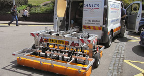
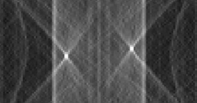
The aim of this work package is to advance GPR technologies specifically in support of the multi-sensor device, for deployment both alone at the surface and in combination with in-pipe GPR transmitters / receivers.
Click here for more information.
Acoustic Technologies Advancement
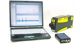
The aim of this work package is to determine the effectiveness and limitations of acoustic technologies for buried utility service location, based on both pipe and ground excitation techniques, when operated alongside the complementary sensor technologies in the multi-sensor device.
Click here for more information.
Low Frequency Electromagnetic Field Technologies
The aim of this work package is to conduct four inter-related studies based on low frequency electromagnetics.
Click here for more information.
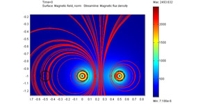
Magnetic Field Technologies
The aim of this work package is to utilise a passive array of magnetic sensors together with advanced signal processing techniques to detect underground electricity cables and other metallic buried infrastructure, even when stacked or laid in close association, and to develop the technique so that it can be integrated in the multi-sensor device.
Click here for more information.

Development of Multi-Sensor Array and Signal Processing
The aim of this work package is to develop a multi-sensor array demonstration unit, bringing together the outputs of the other work packages, which are all specifically focussed on supporting the device’s creation
Click here for more information.
Fusion of Sensor Data with Buried Asset Records
The aim of this work package is to fuse geo-referenced information from multiple sensors and to combine this with an integrated database of buried asset records to increase confidence in their presence and location, and to determine missing asset records.
Click here for more information.
Tuning of the Multi-Sensor Device to the Ground Conditions
This work package aims to develop equipment for use in field testing of geophysical soil properties and, in conjunction with the British Geological Survey (BGS), to create a Knowledge Based System that will allow geophysical soil data to be predicted using geographically mapped geotechnical and geological data. Both are intended to inform, and significantly improve, utility location during the planning, site operations and data interpretation phases of site surveys.
Click here for more information.

Proving Trials and Specification of a National MTU Test Facility
The aim of this work package is to conduct a comprehensive and rigorous programme of proof tests of the above technologies when combined in the multi-sensor device, and prove the efficacy of accurately tuning the devices to different soils and groundwater conditions. A further objective is to refine the set of criteria compiled in the MTU Phase 1 Feasibility Study for a UK National Test Facility.
Click here for more information.
Web Design by Darren Langley
